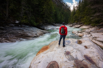
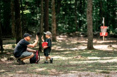
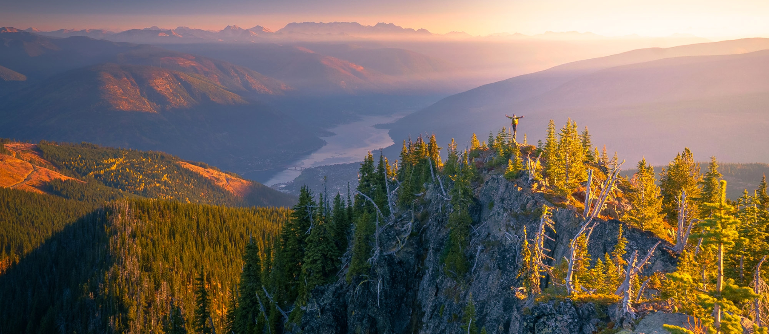
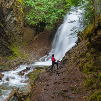
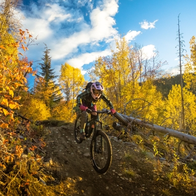
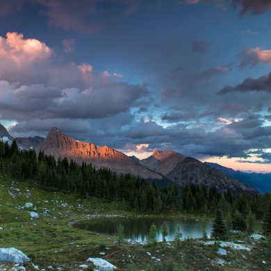
This region is a hiker's paradise, with excursions for families to outrageous adventurers. Explore trails near waterfront towns or venture into the wilderness on multi-day hikes deep into the Selkirk and Purcell mountains.
Explore the trails
OUR REGION
Nelson, Kaslo, Meadow Creek, Crawford Bay, Pilot Bay and all the mountains and valleys around Kootenay Lake make for ideal bases from which to explore your desired trail(s). Late summer and early fall are prime hiking time, with cooler temperatures for more comfortable ascents and leafy trees beginning to put on a colourful autumn show. No matter where you choose to go, ensure you leave no trace and adhere to trail etiquette.
Connect with locals through Kaslo Outdoor Recreation Society and Kootenay Mountaineering Club, who are happy include you in a group hike and point you in the right direction. West Kootenay Hiking is a very helpful online resource for local hikes. Or pick up the guidebook "Where Locals Hike", by Kathy and Craig Copeland, available at the Nelson Visitor Centre and Otter Books in Nelson.
Family Hikes
Family friendly hikes, including the Kaslo River Trail, Retallack Old Growth Cedars, Pilot Bay Provincial Park, and the Great Northern Rail Trail in Nelson offer short and gentle walks that are easily accessible from paved roads. The upgraded road to Kokanee Glacier Provincial Park makes it easier than ever to explore the Old Growth Cedars or scenic Gibson Lake.
Day Hikes
Keen for a more ambitious day hike? Try Toad Mountain near Nelson, with awesome 360 summit views, the legendary Kokanee Lake Trail (with longer options too), or Lyle Lakes/Mount Brennan near Kaslo.
For those seeking more solitude in the backcountry, and not afraid of some bumpy forestry roads, head to Monica Meadows, Macbeth Icefield and Jumbo Pass at the north end of Kootenay Lake. Jaw-dropping views are the reward for these iconic and challenging hikes.
We are thankful for the content provided by local hikers. Much of the hiking information below was created in partnership with West Kootenay Hiking - a great resource to find trail reviews, tips, photos, and maps of West Kootenay hikes.
Nelson
- Pulpit Rock | 3.6km | +338m | Spring/Summer/Fall
This iconic Nelson hike is a fairly steep 1.8km trail offering fantastic views of Nelson and Kootenay Lake. You can continue to the Flagpole (an extra 2.2km and +317m) for more spectacular view of Nelson. - CBC Tower | 14.1km | +1120m | Summer/Fall
CBC Tower trail takes you to the very summit of Mount Nelson (or Elephant Mountain as some locals affectionately call it). It’s a difficult hike with significant elevation, but it’s scenic and close to home! - Great Northern Rail Trail | 49km | +628m | All Year
A part of the TransCanada Trail system, the Great Northern Rail Trail is a multi-use recreation trail suitable for hiking, mountain biking, and cross-country skiing. Access the trail via the Mountain Station parking lot (top of Gore Street) and head South towards Cottonwood Lake or North towards Troup Beach. - Rail Trail to Five Mile Point | 12.5km | -184m | Spring/Summer/Fall
The rail-grade is easy, gentle walking. The destination of this hike is just above Troup Beach at Five Mile Point. - Morning Mountain | 9km | +544m | Spring/Summer/Fall
These mountain bike trails wind at a comfortable climb and will take you through dark cedar forests, across wildflower meadows, and up to distant views of Kokanee and the Valhalla Mountains. - Mount Grohman | 8km | +617m | Summer
Mount Grohman is a stunning ridge-line hike. Most of this hike is done off-trail, but the access road starts you way up in the alpine and the route is surrounded by prominent peaks and landmarks. - Ross Lake | 3.5km | +238m | Summer
Ross Lake is a short hike near Balfour, BC. The trail leads to a quiet sub-alpine lake with fishing and backcountry camping opportunities. It’s a great location for new hikers. - Smallwood Bigwood | 5km | +509m | Spring/Summer/Fall
The Smallwood and Bigwood trails near Beasley start in the woods and end with a view! From the top, you can look up and down the Kootenay River Valley to see Nelson and South Slocan. - Sproule Creek | 10km | +262m | Spring/Summer/Fall
A walk in the woods near Nelson, a bubbling creek, nine bridge crossings! What could be better? - Svoboda Road Bike Trails | 11km | +495m | Spring/Summer/Fall
A solid trek from the edge of Nelson up into West Arm Provincial Park. The trail winds up in a scenic clearing, looking past Nelson and beyond into the Kootenay River valley. - Toad Mountain | 8km | +555m | Summer
Toad is a legendary ridge-line hike just outside of Nelson. And the view from the summit? Toad-ally awesome. - Vallelujah | 6.4km | +150m | Summer
Vallelujah is a mountain biking trail high on a ridge between the Slocan and Kootenay River valleys. The trail takes you through an old clearcut with stellar views of the Valhallas and Bonnington Range. - Ward’s Ferry Trail | 8km | +240m | Spring/Summer/Fall
Ward’s Ferry Trail traces the Kootenay River and connects Blewett to Glade. A good chunk of it is scenic riverside hiking. A good chunk of it is also a long slog in the woods. - Salmo Ski Hill Trails | 6.7km | +330m | All Year
A multi-use trail network that flows up through the forest to big views over the valley - from a day hike to skiing to a trail run or bike ride, the trails at Salmo Ski Hill have something for everyone. - Lyon's Bluff Trail | 3.8km | +300m | All Year
A brand new trail built by the Friends of Pulpit Rock Society that climbs up Nelson's north shore, taking you to a big sweeping view of town. - White Queen West Ridge Trail | 10.2 km | +961m | Summer/Fall
A moderate hike featuring wildflower meadows in summer and golden larches in fall, with scenic views throughout the trail. Park at Hummingbird Pass Parking along Whitewater Ski Resort Road. - Summit Trail & Blasters Ridge | 9.5km | +521km | Summer/Fall
A moderate hike at Whitewater Ski Resort, with vibrant fall colours and well-marked paths, offering scenic views and access to multiple peaks including Sherpa, Prospector, Hummingbird and Ymir.
Kokanee
- Kokanee Creek Provincial Park | 9.5km | Spring/Summer/Fall
This provincial park and campground have 9.5km of easy walking trails which depart from the Kokanee Creek Nature Centre. You can also stroll along the beach and check out the Kokanee Salmon spawning mid-August to mid-September. - Gibson Lake | 2.1km | Spring/Summer/Fall
The trail circling Gibson Lake is short and sweet, wrapping along the lakeshore and crossing streams. If you’re looking for an easy and scenic hike then Gibson Lake is worth the drive! - Kokanee Old Growth Cedars | 2.4km | +100m | Spring/Summer/Fall
The old growth trail up Kokanee Creek is a short and spectacular hike. The cedars are ancient and massive, reaching up towards the sky and back across the centuries. - The Keyhole | 12.4km | +1133m | Summer
The Keyhole trail climbs way up high to bring you through a hidden notch at the edge of the Kokanee Glacier. It’s a scenic route, but it’s also a bit of a sufferfest with boulders and scree. - Kokanee Lake Trail | 8.9km (one way) | +578m | Summer
The main access into beautiful Kokanee Glacier Provincial Park. The Kokanee Lake Trail starts in the forest and winds up to the sub-alpine realm of meadows, lakes, waterfalls and marmots. - Sapphire Lakes | 8.9km | +352m | Summer
Shimmering turquoise lakes? Check. Meandering creeks and waterfalls? Check. Glowing fields of white granite? Check. Peaks all around? Oh yeah! - Smuggler’s Ridge | 6.5km | +601m | Summer
If you’re staying in Kokanee Glacier Provincial Park, Smuggler’s Ridge is a short day hike that wanders high above the park to look down on the glacier and surrounding landmarks. - Silver Spray Cabin | 14.4km | +1072m | Summer
The trail to Silver Spray Cabin just goes up, up, and up some more. A beautiful backcountry retreat for the experienced hiker.
Kokanee Creek Provincial Park's online guide outlines all hiking trails and camping sites.
Kaslo
- Kaslo River Trail | 3.2km | +66m | Spring/Summer/Fall
Kaslo River is a fairy tale of a trail, winding along the burbling river and mossy banks. The main loop arcs over the river on two covered bridges, both painted an enchanting shade of red. - Fletcher Falls | 0.5km | Spring/Summer/Fall
Just a short walk down a well-established trail will lead you to a spectacular waterfall and moss-lined grotto on Fletcher Creek. There is also beach access. - Kaslo Lookout Trail | 0.8km | +176m | Spring/Summer/Fall
A short switchback trail with a bench at the top and lovely view over Kaslo Bay. - True Blue Trails | All Year
A varying network of trails located just minutes from downtown Kaslo. Wind through mossy forests on foot or bike in the warmer months or on cross-country skis in the winter. - Lyle Lakes/Brennan | 10-17km | +710-1574m | Summer
Cradled beneath Mount Brennan’s flanks are three subalpine lakes, glowing mineral-blue and suspended between braided waterfalls. The trail beyond to Mount Brennan’s 2900m summit offers a challenging hike with staggering views. - Retallack Old Growth Cedars | 1km | +25m | Summer
A short, winding loop through a scenic old growth cedar grove! Some of the trees are hundreds of years old and tower up to impressive heights – it’s worth the 30 minute stop to go check out this trail! - Whitewater Canyon | 12.8km | +670m | Summer
Whitewater is a wonderful and challenging hike that brings you along the canyon edge to a high alpine pass surrounded by peaks and tarns. - Mount Buchanan | 11.9km (driving on dirt road) | Spring/Summer/Fall
This old fire lookout is accessible by car. You can drive right to the top for breathtaking views of Kootenay Lake or follow the 2km loop trail below the lookout for more viewpoints. - Emerald Lake | 8.8km | +449m | Spring/Summer/Fall
A family-friendly hike to a scenic alpine lake, glowing in the ridges below Mount Jardine. - Hide & Seek | 3.2km | +66m | All Year
Follow the Kaslo River Trail to play and hike through an outdoor installation project called Hide and Seek.
Kaslo & area trail maps can be purchased for $2 at the Nelson or Kaslo Visitor Centre.
North Kootenay Lake / Duncan Lake
- Davis Creek Trail | 8.8km | +700m | Spring/Summer/Fall
The trail is accessible just North of the Davis Creek bridge and takes you up the mountain high and steep to a glorious lookout over Kootenay Lake and deep, back into the Selkirk Mountains. - Jumbo Pass | 10.72km | +957m | Summer
A beautiful alpine ridge studded with larch and surrounded by massive peaks and glaciers. Jumbo Pass can also be hiked from the Invermere side and has an overnight hut that can be booked. - Macbeth Icefield | 15.56km | +1209m | Summer
The Macbeth Icefield trail is incredibly epic, but also incredibly hard. The trail climbs through a valley of meadows and old growth forest to ascend past waterfalls to the massive wall of the Macbeth Icefield. - Monica Meadows | 10km | +653m | Summer
A panoramic landscape of meadows and mountains, waterfalls and wildflowers, larches and lakes! Monica Meadows is an incredibly scenic hike on a high alpine plateau. - Fry Creek Canyon | 10.9km | +370m | Spring/Summer/Fall
A worthwhile destination if you’re already visiting the north end of Kootenay Lake! - Earl Grey Pass | 70.4km | +1896m (East to West) or +2331 (West to East)
A challenging wilderness trail across the Purcell mountain range. The Earl Grey Pass trail is a historic route featuring glaciers, waterfalls, cable cars, and massive old growth cedars.
East Shore
- Crawford Creek Regional Park | Spring/Summer/Fall
Beach, walking and biking trails, and wetlands. - Kokanee Springs Loops and Bridge Trails | All Year
- Family-friendly walking trails.
- Mount Crawford & Plaid Lake Trail | 9.7km | +890m | Summer
Alpine hike with stunning views. - Pilot Bay Lighthouse | .6km | All Year
A short and easy walk to the beautiful and historic Pilot Bay Lighthouse. - Pilot Penninsula | 12.8km | +235m | Spring/Summer/Fall
Shoreline hike with access to multiple beaches. - Sphinx Mountain | 11.6km | +999m | Summer/Fall
Sphinx is a notable peak, towering high above Grey Creek Pass. - Thanksgiving Mountain | 3.4km | +303m | All Year
Nicknamed “Thanksgiving Mountain” by locals who hike it on the holiday, this summit offers a wide panorama of Kootenay Lake and the Purcells.
Kootenay Pass
- Cornice Ridge | 5.8km | + 480m | Summer
Cornice Ridge is a great off-trail hike exploring ridges and peaks in Stagleap Park. The area has good landmarks and easy access. And once you get up to the ridge, the alpine wandering is spectacular! - Lightning Strike | 9.4km | +393m | Summer
Stagleap Provincial Park is renowned for backcountry skiing, but there is also a summer trail that dips along Lightning Strike. Take in ridgeline hiking with panoramic views of Kootenay Pass. - Lost Mountain | 10.6km | +1109m | Summer
The Lost Mountain trail offers highway access and a steady workout. Most of this hike is done in the forest, but the final ridge and summit are worth the effort!
Harrop/Procter
- Mill Lake | 8.8km | +521m| All Year
A small subalpine lake surrounded by toasted trees. You can follow a faint trail around the lake to admire the flowers in the wetlands, before hiking home through beargrass. - Proctologist | 4km | +910m | All Year
Built as a mountain bike trail this is also an amazing walking trail that meanders through the woods, along creeks and up the mountain. You can choose to hike either the road or the bike trail.
Beyond
The West Kootenays are a wonderful place to explore with nearly endless hiking opportunities. To find more hikes in the East Shore of Kootenay Lake, Valhalla Range, New Denver, Castlegar, and more visit westkootenayhiking.ca.
To experience a hiking road trip around the area for a few days, or a week, visit #westkootroute.
Preventing Invasive Species
The Kootenay region is an outdoor enthusiast's paradise, with endless recreation opportunities. While enjoying all that the Kootenay Lake region has to offer please keep in mind that invasive species can act as hitchhikers and latch onto your clothing and gear. Stopping the spread of invasive species is as easy as PLAY CLEAN GO. For more details on your can take action visit the CKISS website.
-
-
-
-
Attractions
The Region
TRAVEL BOOK
Read our visitors guide online or order a copy of the official visitor's guide and map for our region.

