Welcome to Nelson and Kootenay Region
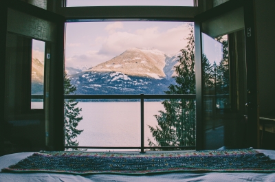
Nestled in the southeastern corner of British Columbia in the Kootenay region, a valley surrounded by the Selkirk, Monashee, and Purcell mountain ranges, our communities sprang up along the Kootenay River and Kootenay Lake over one hundred years ago.
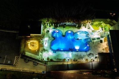
Our region consists of the communities along the magnificent expanse of lakeshore along Kootenay Lake: Nelson, Balfour, Kaslo, Ainsworth Hot Springs, East Shore, and North Kootenay Lake.
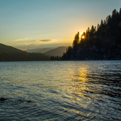
Kootenay Lake connects the region extending up to 150m deep and 4km at its widest point. It is divided into four sections: North End, West Arm and South End.
- North End runs from Lardeau to Balfour and is 64kms long, with remote beaches banked by deep evergreen and deciduous forests
- West Arm runs from Balfour to Nelson and is 33kms long, winding alongside rugged cliffs, beaches and local residences
- South End runs from Balfour to Kuskonook and is 63kms long, with an endless stream of beaches, on both sides of the arm
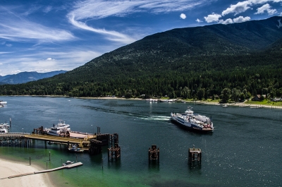
- Main Lake is where the West Arm and South End meet and is the widest part of the lake. The Kootenay Lake Ferry crosses at this point from Kootenay Bay to Balfour.
Kootenay Lake has a very interesting flow of water. The North End is fed by glacial waters from the Purcell and Selkirk mountains and flow is managed at the Duncan Dam above Kaslo. The West Arm flows southwest into Kootenay River, and at Castlegar joins the Columbia River and then into the USA. The water flow at the South End of the lake comes from the Libby Dam in the USA, and flows northwest, up to the Main Lake. The West Arm and South End meet at the widest part of the lake, the Main Lake, near Kootenay Bay, where the ferry travels across to Balfour.
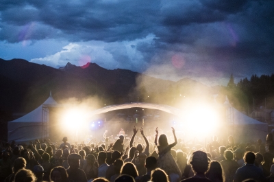
Although the lake is the heart of the region, we're also quietly famous for our trademark mix of arts, adventure, history, and spectacular places to stay, shop and dine—a rare combination where mountain lifestyle meets metropolitan.
Explore Interactive Map of the Region
A destination in all four seasons
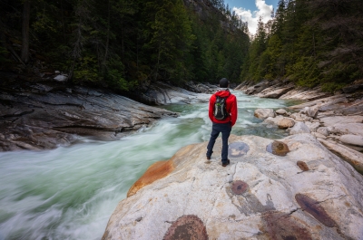
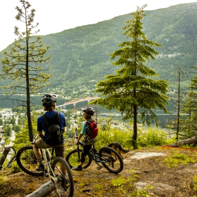
Winter is a skiing paradise with soft, dry, powdery snow, and lots of it—but not too cold. Spring draws hikers and mountain bikers to our trails. Summer has long hot days perfect for the lakes and beaches or an idyllic round of golf. Fall is breathtaking: the colours are stunning and the slow transition lasts for weeks.
Discover the regions' recreational opportunities, things to do, how to get here, where to stay, and where to eat. You can view over 600 points of interest on our interactive map.
The Kootenay Lake Road Trip App
Want to discover the Kootenay region at your pace, but with all the fun and information of a guided tour? Our immersive guided driving tour is a fantastic companion for your journey, or worth an excursion itself. Check it out here.
Where to stay & What to do
Visit our Reservation System that provides you hotel rates and seasonal specials with a direct booking link to the accommodator. An additional feature is a list of attractions to make it easy for you to book direct.
The Region
TRAVEL BOOK
Read our visitors guide online or order a copy of the official visitor's guide and map for our region.

